The Role of Drones in the Next Generation of Field Services
Telecommunication networks are expanding faster than crews can inspect them. Towers climb higher every year, and the gear attached to them carries more responsibility for keeping regions connected. Drones are beginning to change that rhythm of work. They record what once required a climb, capturing structure, elevation, and signal conditions in minutes. The difference shows up when those flights feed into TX RX Systems’ service analytics.
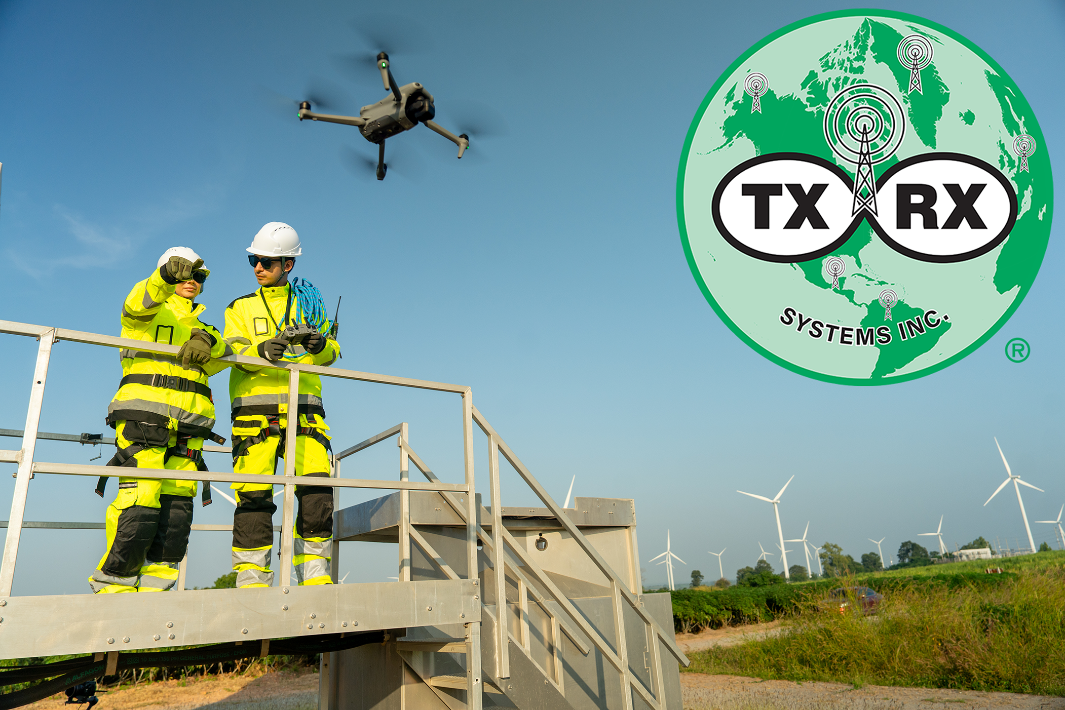
From Manual Climb to Aerial Survey
Historically, tower inspection meant sending climbers hundreds of feet into the air to photograph and document structural wear. The process demanded extensive setup and presented inherent risk. Studies show that drone-based inspections can cut those cycles by more than half while removing most exposure hours. AT&T and Verizon pilots reported inspection times reduced by seventy-five percent after integrating (uncrewed aerial vehicles) UAV workflows. Industrial studies have verified the same trend, inspection-related costs lowered by 60% through drone operations, while fault detection reached 95% accuracy when imagery was analyzed through GIS and analytics platforms.
Those results align with field accounts. Operators now complete a full tower inspection in under an hour and produce processed reports within a day. That same task previously took multi-day site visits. The improvement does not come from the aircraft alone but from the precision of the collected data and how quickly that data can be analyzed once it reaches TX RX’s platform.
Mapping for Precision and Compliance
Accurate mapping supports every phase of tower maintenance and design. A drone with LiDAR and a good camera can map a tower in three dimensions (the x, y, and z axis) and then drop the files into GIS software without much extra work. From that map, teams check height, cable clearance, and line-of-sight. One short flight covers what used to take a crew most of a day, especially in city blocks where roof access is tight. In rural regions, topographic modeling identifies viable tower sites and surrounding service connections that might otherwise remain hidden.
For compliance documentation, drones capture data that can be archived and cross-referenced with engineering records. Each flight adds to a digital twin that engineers use for long-term tracking. When those models feed into TX RX analytics, the information moves beyond storage. Structural patterns, corrosion trends, and weather impacts become measurable variables used to plan preventive maintenance and material replacement schedules.
Sensors, Mapping, and GIS-Driven Diagnostics
Modern UAV payloads, like RGB and telephoto cameras, thermal imagers, LiDAR, and narrowband RF sniffers, collect structure-level detail in a single flight. From those datasets, teams produce orthoimagery, dense point clouds, and DSM/DEM surfaces that flag mount distortion, feedline sag, heat signatures at PAs, and vegetation encroachment.
What moves this from “pictures” to diagnostics is the handoff into GIS. The Remote Sensing review by Quamar et al. documents that drone-integrated GIS reduces the cost and friction of geospatial data collection while improving spatial accuracy and access to analysis workflows. It also shows how those layers support real-time monitoring, survey-grade mapping, asset inventories, and terrain modeling across domains, capabilities we apply directly to tower siting, access planning, and line-of-sight studies.
Integrating Drone Data with Service Analytics
The real transformation occurs once drone data converges with TX RX’s service analytics system. High-resolution imagery, LiDAR mapping, and RF data each describe different aspects of network health. When processed together, they create a complete operational picture. The system classifies visual anomalies, correlates them with frequency-domain irregularities, and predicts which components may fail next.
Field studies in industrial maintenance demonstrate measurable gains from this model:
- Mean time to repair reduced by nearly 70% when UAV data feed predictive-maintenance software.
- Fault-detection accuracy exceeding 90%t using AI-based image recognition.
- Maintenance scheduling adherence improved through automated report generation and prioritized task lists.
TX RX’s analytics system handles the data once the drone lands. Each flight upload goes to a shared dashboard where the newest photos sit beside older site images. When the software spots a change, it opens a maintenance ticket and updates the route list for the next crew. The cycle (fly, review, fix, repeat) now happens in one place instead of across several teams.
Field Impact: Faster Cycles, Safer Crews, Stronger Networks
Every advancement in inspection efficiency translates into measurable field outcomes. Crews spend less time at height, cutting risk exposure by more than 70% according to a study conducted by AT&T. Networks experience fewer unplanned outages because small defects are identified earlier. Cost per inspection falls as flights replace repeat climbs, and carbon output drops due to reduced travel and generator use.
When drone data runs through TX RX’s analytics system, inspection work speeds up fast. A regional crew can cover dozens of towers in a single day instead of just a few. On the dashboard, managers see which sites are finished, how many images each run produced, and where problems showed up. The process keeps coverage steady and crews focused without adding more people or longer shifts.
The Future of Autonomous Field Service
The next generation of UAV deployment will rely on partial autonomy and direct integration with 5G. Academic work on massive MIMO and beamforming indicates that aerial units will soon coordinate their own frequencies to minimize interference. Multi-UAV formations could map entire service regions in coordinated sweeps, transmitting data through NB-IoT links to cloud analytics in real time.
Within TX RX’s ecosystem, this evolution means inspection will become predictive rather than scheduled. Instead of waiting for service tickets, towers will self-report performance deviations through combined UAV and analytics data streams. The analytics engine will flag patterns that suggest mechanical wear or RF drift before the network experiences service degradation. Engineers will transition from responders to system supervisors.
Data, Design, and Dependability
Drones have changed how tower work gets done today and how it will get done in the future. Their real value shows once the data is back on the ground. When flight images and signal readings move into TX RX’s analytics system, they form a running log of each site’s condition. Crews plan repairs with fewer trips, schedules stay tighter, and the network holds steady through routine wear.
TX RX turns that principle into a practice by linking UAV data directly with its service analytics environment. The outcome is a more reliable network and a more informed engineering process.
Want to work with us? Reach out today and speak to one of our engineers.